Funnel Clouds and Few Hail Reports
- WeatherSD

- May 8, 2022
- 1 min read
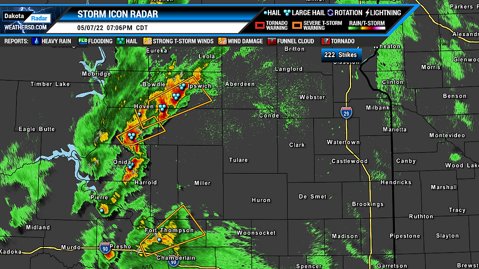
Thunderstorms fired up by Saturday evening bring a couple of severe thunderstorm warnings and even one tornado warning.

Hail to the size of quarters dropped from a thunderstorm about two miles southeast of Gettysburg in north-central, South Dakota. As the storm moved northeast, the hail got smaller, to the size of Nickels in Tolstory.
Things then got interesting as the line of thunderstorms moved closer to US Highway 281. One thunderstorm became tornado warned as it moved closer to Aberdeen.

Brown County Emergency Manager reported a funnel cloud about five miles southwest of Aberdeen, and law enforcement a couple of miles east of town reported a funnel cloud. To the south in Spink County, the local Emergency Manager reported a brief funnel clouds about 2 miles northwest of Ashton or a few miles north of Redfield.
Once these storms continued eastward, they became weaker and became a shower and light thunderstorm event.
Another round of strong to severe thunderstorms are possible once again for today ranging from the southwest up towards the northeast region and down towards the southeast.


