

Gloomy Dense Fog and Drizzle
- WeatherSD

- Oct 15, 2025
- 1 min read
Moisture-laden air over South Dakota has resulted in dense fog and patches of drizzle from Tuesday night into Wednesday morning.
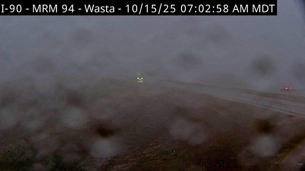
The Rapid City Regional Airport experienced a visibility drop to a quarter of a mile from around midnight until 3:00 AM, then the visibility slowly increased to two and a half miles by 6:00 AM MDT.
The same was found at the Philip Airport with visibilities dropping by 9:00 PM Tuesday and remaining under a mile throughout the night, before improving at around 7:00AM this morning to two and a half miles.

A low-pressure system is forecast to move into the region, bringing additional chances of showers and thunderstorms through tonight and into Thursday. Weather models at the 00z run are hinting that the heaviest rain will be across the west, with some locations in the northwest seeing amounts over an inch through Thursday evening.


