More Chances for Severe Storms
- WeatherSD

- Aug 3, 2025
- 2 min read
Many of us are wondering if there will be a stop to the severe weather that South Dakota has been experiencing for some time now.
On Saturday, parts of Meade County had thunderstorm wind gusts of 50mph or greater and rainfall amounts over two inches. During Sunday morning, a couple of back roads in Beade County were reported flooded as a personal weather station reported 8.36 inches about 13 miles northeast of Broadland.

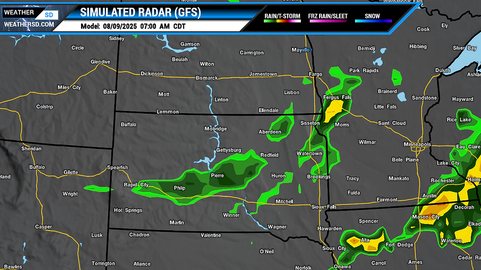
Unfortunately, the weather models continue to trend toward an active and sometimes severe weather for much of the new week. Starting today, spotty thunderstorm development is once again expected, with a few isolated strong to severe storms possible across the southwest, the Black Hills, and back over to central and south-central regions of South Dakota. Mainly hail and some gusty winds are possible.


On Monday, an upper-level ridge will continue to bring widespread thunderstorms from western South Dakota all the way down towards Texas. Locally damaging winds and hail are expected with some of these storms. The Storm Prediction Center may upgrade this area to the next level pending new model runs.

The ridge that helps support thunderstorm development is expected to remain over the area and will continue to assist in the severe weather chances once again. Surface airmass will be moist with dewpoints pushing at least into the 60s. By Tuesday afternoon and into the evening hours, expected thunderstorms to fire up once again with the possibility of strong to severe storms.

The Storm Prediction Center continues to watch the area as an unstable airmass is expected to be set up for the central and northern Plains for the middle of the work week. Shortwaves of energy are forecast to ride the ridge, bringing additional chances of severe weather with gusty thunderstorm winds and hail for Wednesday into Thursday.
By Thursday, the mid-level ridge is forecast to move eastward with a flow becoming southwestly across the region. Thunderstorms are once again expected to form in parts of Montana and the western regions of North Dakota and possibly impact far northern regions of South Dakota. Large hail and damaging winds are forecast with these storms.


Then on Friday, model forecasts suggest a few storms may pop up by the afternoon with increased chances later into the evening as a shortwave pushes across the state. There is still some uncertainty about the level of severe weather, so please stay tuned.


