

Northwest Blizzard, Southeast Strong Storms
- WeatherSD

- Apr 12, 2022
- 2 min read
A powerful spring-like storm system will continue to impact South Dakota through today and into Wednesday.
On the "spring side" of the storm system, temperatures are forecast to reach into the 60s and 70s which will fuel the chances for thunderstorm development later on this afternoon. Some of these thunderstorms could become strong to severe with the best chances in the far southeast, South Dakota, and back into Iowa. These areas may see numerous severe storms with an increase in tornado chances.

On the backside of the storm system, winter conditions are expected with Blizzard Warnings and Winter Storm Warnings up for the northwest region of the state. A Blizzard Warning means the combination of snow, blowing snow, and strong winds will create dangerous whiteout conditions. Travel in the area may become hazardous and at times impossible.

Snow amounts from this system, look to be the heaviest in the far northwest, South Dakota where 12 to 15 inches are possible. This snow amount quickly decreases as you move south and east from there.

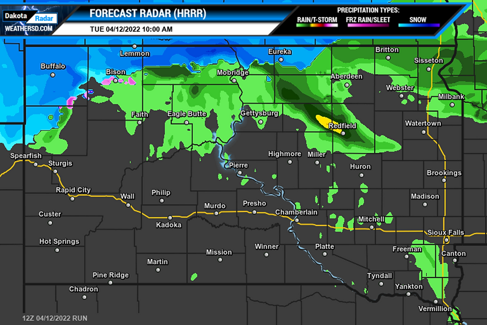
Rain showers will continue for those in the north-central and eastern regions of the state this mid-morning with snow continuing near the North Dakota and South Dakota state line.
By mid-afternoon, snow will continue in the northwest with rain across north-central and northeast, South Dakota.

By late afternoon into the start of the evening hours, thunderstorms development is expected across the southeast and east-central, South Dakota. Rain chances continue for the northeast and filter in southwest, South Dakota. Snow will be found in the northwest.


By the overnight hours, snow is expected to continue for those in the northwest with the rest of the state seeing decreasing chances of precipitation.

A detailed look at your local forecast can be found on our Forecast page.


