Spring Precip to Winter Weather
- WeatherSD

- 9 hours ago
- 1 min read
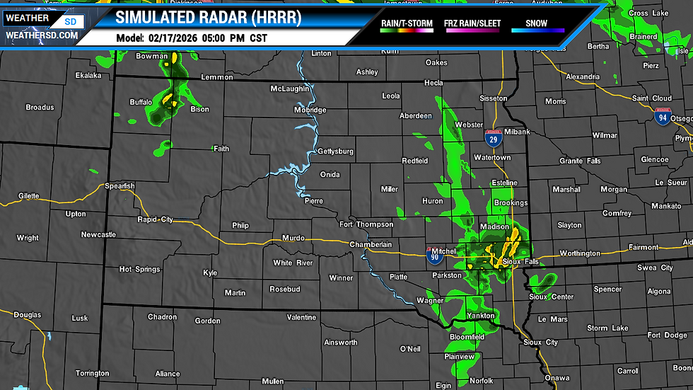
The spring-like weather with record warmth appears to be concluding, as a few waves of precipitation and cooler temperatures are anticipated for the latter half of the workweek and into the weekend. The initial wave of precipitation is forecasted to develop in the west, with about a 30 percent chance of rain showers this morning.

The likelihood of precipitation will expand eastward and intensify this afternoon. Some areas along Interstate 29 might experience a few thunderstorms by late afternoon and into the evening.


This precipitation will then move northeast, transitioning to a wintry mix or light snow from Tuesday night into Wednesday morning for the northeast.

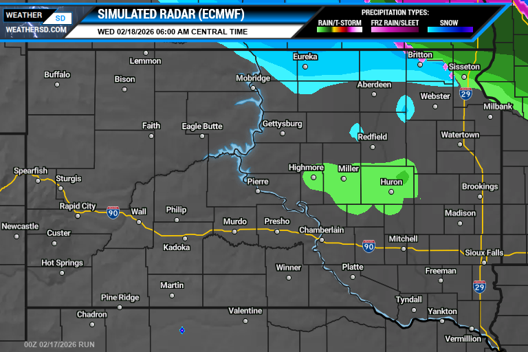

The second round will bring colder air and is anticipated to primarily result in snow. By late Wednesday afternoon, the initial signs of snow will appear in the far west and will expand in coverage by Wednesday evening across that region. The snow will continue to move eastward by Thursday, maintaining the likelihood of snowfall throughout the day. Light snow is expected to persist into Friday morning, gradually diminishing from west to east.


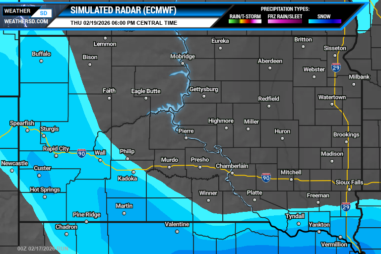


Snow accumulations are possible through Friday morning, with the best chance for significant snows across the Black Hills and along the south.
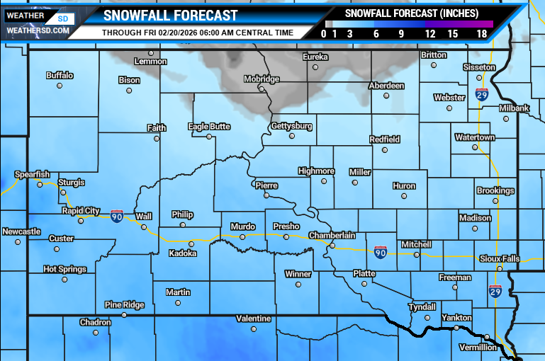
For additional details, visit the local forecasts for timing and precipitation amounts for your part of South Dakota.